Product Category
Survey Equipment
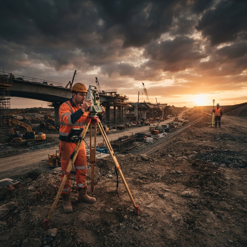
Precision positioning instruments engineered for millimetre-accurate measurement across construction and infrastructure projects.
Survey Equipment
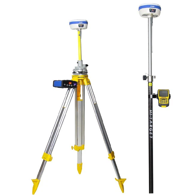
GNSS/GPS Survey Equipment
GNSS/GPS survey receiver systems supplied complete with tripod and pole mounts, controllers and accessories for centimetre-accurate positioning.
Survey Equipment
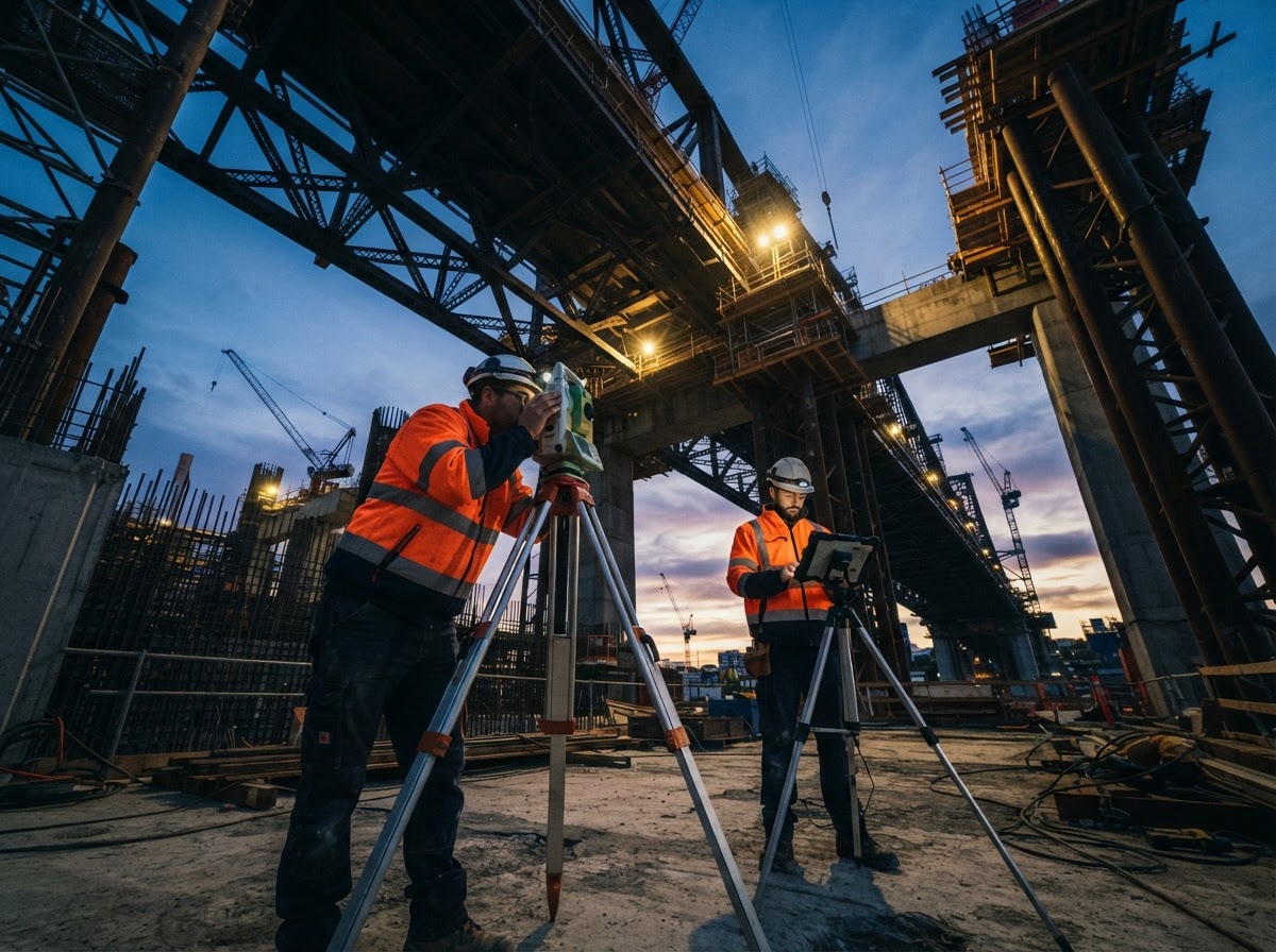
Total Station Survey System
2-second accuracy total station for precision construction and engineering surveying.
Survey equipment for construction and infrastructure projects in Pakistan
Accurate positioning is the foundation of every construction project. GGC supplies total stations, GNSS RTK GPS receivers, automatic and digital levels, laser levels and theodolites to surveyors, contractors and government departments working across Pakistan's construction and infrastructure sector.
From setting out a commercial tower in Karachi to corridor surveying on a motorway extension, we specify instruments around the accuracy, range and site conditions your survey teams face — and back every supply with operator training so productivity starts on day one.
Total stations, GNSS and levels: which instrument fits your site?
Most programmes combine several instruments. As a rule of thumb:
- Total stations for high-accuracy setting out, as-built checks and topographic detail
- GNSS RTK receivers for fast control, earthworks and large-area topo where sky view allows
- Digital and automatic levels for levelling loops, road profiles and construction control
- Laser and rotating levels for day-to-day site levelling
- Theodolites where conventional angle measurement procedures remain in use
Accuracy, range and honest specifications
We quote angle accuracy, distance accuracy and range for every total station, and RTK performance specifications for GNSS receivers, so comparisons between models are honest and traceable. Data collection software and export formats are confirmed against your office workflows before delivery, avoiding the integration surprises that slow survey teams down.
Delivery and training nationwide
We coordinate delivery to project sites and offices in Lahore, Islamabad, Rawalpindi, Multan, Peshawar, Quetta and other cities, and provide setup, operation and data-management training with every supply so your crews work confidently from the first day on site.
Applications across Pakistan's infrastructure sector
Survey instruments from GGC are at work across Pakistan's construction sector: setting out structures on dense urban sites, corridor surveys for motorway and rail alignments, earthworks control on dams and housing schemes, and as-built verification for consultants. Government departments rely on the same instruments for national infrastructure programmes.
Typical programmes pair an RTK rover for control and earthworks with a total station for structural setting out and a digital level for precise levelling loops. Laser levels cover daily site levelling where crews need speed over precision. We configure each package around the accuracy your specification demands, then train surveyors and assistants alike so a mixed-skill team gets consistent results.
Caring for survey instruments in the field
Precision instruments lead hard lives on construction sites: dust, heat, vibration in vehicle transport and daily tripod handling all take a toll. We advise on protective transport cases, instrument collimation checks and sensible calibration intervals, and supply the accessories — prisms, poles, tribachs, batteries and data collectors — that keep a survey fleet interchangeable across crews.
Battery and charger strategy is worth planning from the start of a project: a rover that dies before the afternoon setup costs more than a spare pack ever will. Our training covers daily checks and field maintenance, and our support line helps diagnose instrument issues before they become survey stoppages.
Requesting a quotation
Requesting a quotation: tell us your accuracy requirements, site types and team size. We will propose an instrument package, quote accessories and software honestly, and include delivery plus hands-on training anywhere in Pakistan.
FAQ